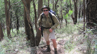
Walking the Glasgow track. This track runs straight up Mt Dandenong, starting at the corner of Glasgow Road and Sheffield Rd near Canterbury Road. Very deceiving.. from ground level at the start of the walk, it looks like a multi hour walk. Amazingly, it took just on 30 minutes from bottom to top. The view at the top is spectacular !
You can see the city of Melbourne in the distance.
Above is the Google view of the Glasgow track, using the 100 m track of a Garmin 60 CSX. The slight right detour at the top of the climb is a visit to the TV towers. The Garmin is a great, waterproof, high sensitivity unit for this sort of adventure activity !
The Elevation map of the Glasgow Track from the Garmin. Gives a good idea of the steepness of the rise/fall.
This image is generated from the Garmin mapsource application that comes with the GPS. This application downloads the track data direct from the GPS, in addition to generating the Google Earth pictures such as above. Makes it a cinch to generate these sorts of images.
Looking up the track. Good strengthening of you leg muscles. Also, plenty of 'rock hopping' practice...ie avoiding falling over !
Looking down the track. This picture was taken with the camera facing horizontal to highlight the decent angle.


No comments:
Post a Comment